Tag: sea-me-we 6

  • Mobily to Add 140 Tbps Red Sea Cable Between Saudi Arabia and Egypt

    Mobily to Add 140 Tbps Red Sea Cable Between Saudi Arabia and Egypt

    At Submarine Networks World 2026, Mobily Chief Wholesale Officer Adel Alaskah detailed plans for the Mobily Red Sea Cable, which will add 140 Tbps of capacity between Saudi Arabia and Egypt.

    The wholly Saudi-owned cable will connect Duba with Sharm El Sheikh, opening an east-west route toward Europe for hyperscalers, OTT platforms, and network operators.

    Building Route Diversity on the Red Sea Corridor

    Mobily operates four subsea gateways across two coasts to handle transit between Asia, the Middle East, and Europe. In Jeddah, the carrier ties into Asia-Africa-Europe 1 (AAE-1) alongside the TGN-EA and SEACOM systems. At Al Khobar on the eastern coast, it routes regional traffic through TGN-Gulf.

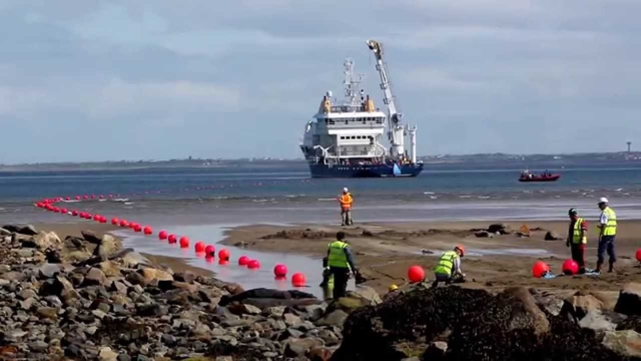
    Northern landings handle heavier long-haul transit. Mobily serves as the domestic landing party and consortium member for the SEA-ME-WE 6 cable at Yanbu. Its Duba station hosts the Africa-1 system, which landed in 2025.

    Wholesale Capacity for Hyperscalers and Asian Carriers

    Asian telecom operators and cloud providers face chronic bottlenecks along traditional Red Sea transit points. Duba to Sharm El Sheikh gives international carriers a bypass path. The route runs independently of existing lines through Jeddah.

    This build shifts wholesale dynamics across the Gulf. Mobily is pairing subsea landings with local data centers and domestic backhaul fiber. The goal is keeping regional computational workloads inside the Kingdom instead of losing hosting revenue to hubs in Europe or East Asia.

    Sovereign Infrastructure and Regional Digital Hubs

    National infrastructure targets drive the project under Saudi Arabia’s Vision 2030 economic program. The framework prioritizes digital sovereignty alongside non-oil commercial growth. Hyperscalers, over-the-top content platforms, and regional internet service providers need low-latency transit backed by neutral terrestrial interconnection.

    Mobily pitches its four-station network as a unified gateway rather than standalone landing contracts. The strategy mirrors competing investments from Gulf operators trying to capture data flows between Singapore, Mumbai, and European financial centers.

    Expanding Physical Landings Beyond Yanbu

    Landing rights secured on major international consortium cables over the past decade laid the groundwork for the network. Integrating Africa-1 at Duba in 2025 provided the northern anchor point now paired with the Egyptian link.

    Future capital deployments will target local data center builds, domestic fiber expansion, and sovereign artificial intelligence hosting clusters. Delivery timelines for optical activation on the 140 Tbps Red Sea span will dictate when wholesale carriers can switch active commercial loads onto the corridor.
  • Autonomous Robots Deploy Across Asia to Monitor 19,200-Km Cable Routes

    Autonomous Robots Deploy Across Asia to Monitor 19,200-Km Cable Routes

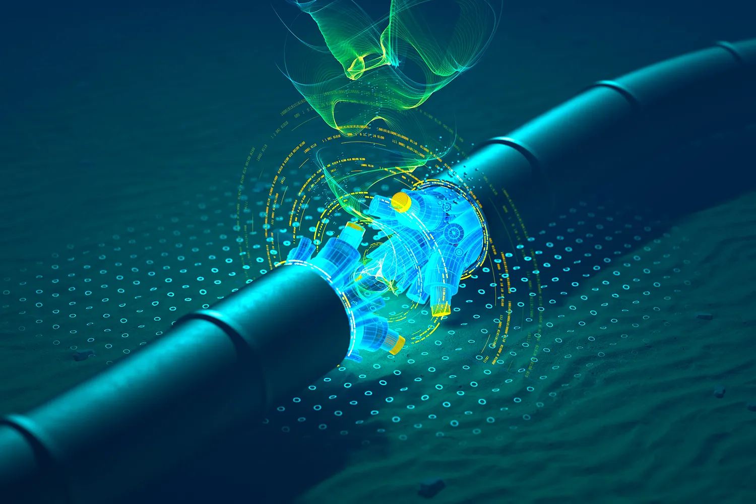
    Subsea cable operators across Asia-Pacific are turning this week to resident autonomous robots and long-range underwater vehicles from firms including Kongsberg, Greensea IQ, and Nauticus Robotics to monitor thousands of kilometres of critical digital infrastructure. Conventional vessel inspections are giving way to seabed-docked machines capable of operating for 15 days continuously at depths reaching 6,000 metres.

    The shift targets vast communication arteries across the region, including the 19,200-kilometre SEA-ME-WE 6 cable connecting Southeast Asia to Western Europe with a design capacity of 126 terabits per second. Maintaining continuous surveillance over links of that scale has made traditional ship-based inspection crews prohibitively slow and expensive for regional network consortia.

    Permanent Docking and Local Processing

    Under the emerging operating model, robotic units remain stationed on the ocean floor inside dedicated docking cradles rather than deploying from surface support craft. These resident units recharge batteries, offload telemetry, and receive updated mission routes directly through subsea connection points before returning to patrol nearby cable landing corridors.

    Edge computing systems on board the vehicles process acoustic readings, sonar scans, and high-resolution optical imagery locally instead of streaming raw files to land. The robots compare real-time seafloor scans against recorded baselines, flagging unburied cables, anchor dragging risks, or seabed displacement before transmitting targeted alerts to network operating centers.

    Hardware manufacturers are scaling the range of these autonomous platforms to meet commercial requirements. Kongsberg has deployed its HUGIN Endurance platform, which covers up to 2,200 kilometres on a single 15-day mission without surface vessel guidance. Meanwhile, the Eelume system, built in partnership with Kongsberg Maritime and Equinor, uses permanent subsea docking stations to conduct continuous structural intervention and inspection tasks.

    Expanding Reach Across Southeast Asian Waters

    Deployment activity is concentrating in shallow straits and dynamic coastal waters where commercial ship traffic poses constant hazards to subsea infrastructure. Greensea IQ has partnered with regional marine service firms to deploy rugged seabed crawlers across nearshore zones and surf corridors in Singapore, Malaysia, and Indonesia.

    Nauticus Robotics has expanded operations in Asia-Pacific to pitch tetherless, autonomous inspection vehicles directly to offshore energy and telecommunications operators. Their systems target lower operating expenditures and lower carbon footprints by cutting reliance on diesel-burning surface vessels during routine surveys.

    China operates the largest deep-sea robotics program in the region, running autonomous vehicles through national research institutes for pipeline verification, marine surveying, and mineral exploration at extreme depths. Those state-backed platforms provide domestic network operators with specialized survey fleets capable of mapping difficult deepwater trenches across East Asia.

    Operating Risks and Capital Demands

    For telecoms consortia and cloud infrastructure providers, relying on permanent subsea robotics removes the scheduling bottlenecks of chartering specialized inspection ships. Vessels often take weeks to mobilise after an outage, leaving high-capacity data routes exposed to prolonged downtime while repair teams locate damage manually.

    The financial risk lies in the high capital cost of seabed docking stations and autonomous fleets before operational reliability is proven across multi-year deployments. Saltwater corrosion, power delivery failures at docking nodes, and navigation drift in turbid coastal channels can strand expensive autonomous assets on the seabed, requiring emergency recovery missions that erase projected operational savings.

    Regulatory ambiguity across contested waters also creates immediate hurdles for automated underwater vehicles. Operating autonomous survey craft across overlapping maritime boundaries in Southeast Asia raises sovereignty and permitting questions, particularly when robotic patrols approach foreign exclusive economic zones or dual-use subsea landing sites.

    Deepwater Capacity and Next Deployments

    Regional network groups had previously managed subsea maintenance almost entirely through episodic ROV charters arranged through regional marine maintenance agreements. Rising demand for real-time cloud connectivity and artificial intelligence data processing has pushed infrastructure managers to treat seabed surveillance as an active, continuous operation rather than an ad hoc repair task.

    That pressure is accelerating as new regional links enter construction, including the 8,000-kilometre XLSMART cable system connecting Southeast Asia directly to Japan. Consortia backing these high-capacity routes are structuring long-term maintenance budgets around autonomous robotic coverage to safeguard data flows across critical maritime choke points.