Retail News CRM

Tag: navigation

  • Waze has hidden a secret Mood emoticon

    Waze has hidden a secret Mood emoticon

    At the end of last month, we told you about a UI overhaul for mapping app Waze. 30 colorful and funny emoticons have been added to represent your current mood. The app was purchased by Google in June of 2013 for a price believed to be in the range of $1.1 billion to $1.3 billion and it uses crowd-sourced traffic information to get you from point “A” to point “B” safely and on time.

    Some of the possible Mood choices include Funny, Sunny, Zombified, Wild, Chill, Furious, Geeky, Happy, Loved-up, Sneaky, Eco-friendly, Proud, Sad, Skeptical, Shy, Carsick, Zen and Speedy. To change your Mood, open the app, and tap on the Search box at the lower left of the screen. Tap on your name at the top of the screen to be taken to the “My Waze” screen. Click on Mood and select your emoticon.

    That sounds easy enough, but there is a hidden “Monster Mood” emoticon that you can select by tapping in a code. To summon the monster, you need to first make sure that you have updated Waze to the latest version of the iOS or Android app. Open the app and tap on Search. Instead of typing in a destination under your name, type in ##@morph. You will find that a one-eyed purple monster is now your selected emoticon right above your name on the My Waze page. It couldn’t be easier.

    Waze says that it is continuing to work on adding more Mood emoticons. “There is such an expansive world there for us to dig into, with so many unique emotions and feelings that we can represent through the Moods (our first set of 30 is just the beginning). We want to represent all different types of people in all different moments on their journey, and make people smile…even when there might not be much to smile about.”

    Even if you already consider Google Maps or Apple Maps to be your default navigator, why not give Waze a shot. Sure, some of the app’s features have been added to Google Maps, but there are many community-related features that make using Waze a completely different experience. On iOS, install the app by visiting the App Store. If you’re using an Android device, install the app from the Google Play Store.
  • FTC to investigate Google’s purchase of Waze years after the deal closed

    FTC to investigate Google’s purchase of Waze years after the deal closed

    Just a few days ago we told you that the Federal Trade Commission (FTC) had requested information from Google parent Alphabet, Apple, Facebook, Amazon, and Microsoft. The regulatory agency is investigating acquisitions made by the five between Jan. 1, 2010 and Dec. 31, 2019. These are transactions that were small enough to escape scrutiny by antitrust agencies.
    In June 2013, Google acquired the Israeli company behind the crowdsourced navigation app Waze for $1.1 billion. While Google already offered its Google Maps app with turn-by-turn directions, Waze was different. Users exchanged traffic information about accidents, police speed traps, construction and inclement weather conditions that could cause a delay to fellow drivers motoring in the same vicinity. Some considered Waze to be a navigation app and a social media site where drivers could communicate with each other. Most of this still holds true today, although Google has been adding Wave’s best features to Maps. More on that below.
    At the time of Google’s announcement that it was buying Waze, the latter had very minimal U.S. revenue which is why the merger did not have to be reported under the Hart-Scott-Rodino (HSR) Act. The HSR Act requires that the DOJ and the FTC receive a pre-merger notification. The deal is not allowed to close for a period of 30 days while the regulatory agencies investigate. If the agencies don’t take any action after 30 days, the merger can then close.
    It appears that the U.K. gave a more thorough examination to Google’s acquisition of Waze than U.S. regulators did. While investigating the transaction, the U.K. asked Google to keep Waze separate from the rest of its operations. In December 2013, the final report from the Office of Fair Trading said that with the purchase, Google was eliminating the closest competition to Maps. Waze CEO Noam Bardin agreed; just two months before Google announced the deal to buy Waze, the executive said, “We’re the only reasonable competition to [Google] in this market of creating maps that are really geared for mobile, for real-time, for consumers — for the new world that we’re moving into.”
    At the time, many figured that Google would move over some of Waze’s features to Google Maps and shut down Waze since they seemed to compete with each other. Others figured that Google was simply buying Waze to keep it out of the hands of another company. When the deal was announced in 2013, RBC Capital Market analyst Mark Mahaney said that the “move eliminates Waze as a potential acquisition target for competitors who could use the app’s collection of data and 50 million users to bolster their own location-based products.”
    There was some truth to the idea that Google was buying Waze to keep it out of the hands of a competitor. Before Google came in with its bid, Waze was reportedly close to a deal to have its app pre-installed on phones made by an unnamed company. In addition, Waze could have worked out a deal with Facebook that would allow users to meet up at certain locations using Waze’s turn-by-turn directions. The U.K. regulator decided to approve the deal noting that with Apple Maps, there already was a strong competitor to Google Maps in the marketplace.
    Not everyone believes that the merger should have been allowed to go through. Sally Hubbard, director of the enforcement strategy at the Open Markets Institute says, “It was literally Google acquiring its number one competitor in maps. It was a bad deal that should have been blocked.” Google has kept Maps and Waze separate but it has used data collected from Waze to improve the delivery of its ads. As RBC’s Mahaney told clients last September, “New ad formats in Google Maps have clear similarities to existing formats in Waze (coincidence?). Google has now collected enough data through Waze to effectively roll out broader solutions for advertisers in Google Maps and provide them attractive returns on investment without severely impacting the user experience.”
    Google has moved over many of Waze’s best features to Google Maps. Users of the latter can now report accidents, detours and police speed traps with the press of a button. And with a feature taken straight from Waze, Google Maps will now warn you when you are exceeding the speed limit.
    Former Justice Department antitrust official and Yale University economist Fiona Scott Morton believes that the FTC might be interested in the Waze purchase years after the deal closed because the location data Waze collects makes Google’s search advertising more precise. The FTC does have the ability to examine acquisitions made years ago although it isn’t clear what kind of punishment it could impose on Google.
  • Android Auto update adds option to disable notification sounds

    Android Auto update adds option to disable notification sounds

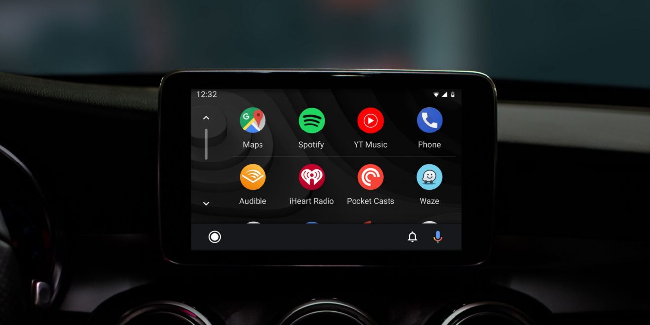
    Google has been trying to fix and improve Android Auto for years, but there’s still a lot of features missing or not working as intended. The latest Android Auto app update doesn’t fix anything but adds a new feature that should have been there a long time ago.

    A new option added after the latest update lets Android Auto users disable notification sounds while they’re driving. Spotted by a Reddit user, the option to disable notification sound is not really new, as Google added and removed the feature a few times before.

    This time, however, Google opted for a toggle, so it’s now much easier to completely disable sounds from notifications whenever you want to focus on driving. The problem is this option does exactly what it says, it disables the sounds, so you will still get notifications on the screen. Not only that, but some users report that notifications will remain on the screen until you manually dismiss them.

    Although the update was released last week, it appears that a wider rollout is happening right now, so everyone should see the new app in the Google Play Store in the next couple of days.

  • Apple launches redesigned Maps app for users in the US

    Apple launches redesigned Maps app for users in the US

    Apple has just announced that Maps users in the United States now have access to a redesigned app that integrates a lot of social elements, but also important under-the-hood improvements. Apple’s new Maps app is faster and more accurate thanks to the many new features introduced by iOS 13 not long ago.

    In an attempt to compete with Google Maps, Apple’s own navigation app promises to offer extensive views of roads, buildings, parks, airports, and malls. Also, Maps now includes support for popular apps like Photos, Messages, Calendar, Weather and more.

    An important addition to the app is the new interactive street-level imagery with high-res, 3D photography that you can see above. This feature lets people from anywhere in the world virtually visit many US cities, including New York City, San Francisco, Los Angeles, Las Vegas, and Houston.

    As far as the social aspect goes, Maps now includes a new feature called Collections where users can share lists of their favorite restaurants, as well as places and locations they wish to visit. Furthermore, Maps lets commuters or users who frequently visit a certain location to add it to Favorites so that they bring it up on the screen with just one tap.

    It’s also worth noting that the app now includes indoor maps for airports and malls, along with an option to send an ETA to family or friends. More importantly, Apple Maps offers real-time information about transit schedules, live departure times, arrival times and so on. For the time being, real-time transit is not available in all US cities, but it’s up and running in San Franciso Bay Area, Washington D.C., New York, Los Angeles, and Miami.

    Apple says it will continue to improve Maps and that the newly redesigned app will be rolled out to customers in Europe in the coming months, so expect more news about it very soon.

  • Waze makes it easier to navigate through wintry weather

    Waze makes it easier to navigate through wintry weather

    Waze announced that starting this week, driving through wintry landscapes will be a bit easier thanks to a new feature the developer is adding to its navigational app. The new feature lets Waze users report snow conditions in real-time, as well as view reports of winter weather hazards on the map overview before they decide to take a trip or not.

    Developed in collaboration with the Virginia Department of Transportation, the new snow reporting feature allows Waze users from over 185 countries where the app is accessible to learn about the weather and road conditions during winter weather. The new feature goes beyond just snow reporting, as Wazers will be able to indicate roads that haven’t been plowed and are almost impractical.

    What makes the feature even more useful is that the Virginia Department of Transportation plans to monitor all reports coming from the navigational app during this winter, and decide how they can use the data into their operations for the following winter.

    The new feature can be found in the latest version of Waze under Hazards / Weather / Unplowed Road. With the addition of the new feature, Waze users can now report about five weather conditions such as fog, hail, flood, ice, and snow.

  • Waze brings back a beloved voice for a limited time

    Waze brings back a beloved voice for a limited time

    Waze has just announced that due to popular demand it has decided to bring back a beloved voice. Starting today, in celebration of Cookie Monster’s birthday this month, Waze users will be able to download the Cookie Monster voice for a limited time in the United States.

    Cookie Monster is Waze’s most downloaded voice in the United States to date with over 130 million monthly active users on the road using this specific voice. The voice was originally released in the US this summer as part of the company’s partnership with Sesame Street.

    Just as with all Waze famous voices, Cookie Monster was only available for a limited time, but if you didn’t manage to get it for whatever reason, now would be a good time to fix that.

    To get Cookie Monster’s voice, Waze users must open the application and click the magnifying glass. Then, simply open the Settings menu and choose “voice and sound.” The last step is tapping the “Waze Voice” and choosing the Cookie Monster voice, which, once again, will only be available for download for a limited time.

  • Waze is getting Google Assistant support in the US

    Waze is getting Google Assistant support in the US

    Google Assistant support is coming to Waze, which means you’ll be able to use voice commands while navigating to your destination. The new feature is rolling out starting today and should become available to all English-speaking Android users in the United States in the next few days.

    Waze users can now say “Hey Google” within the app to access the Assistant. It will let them make a calendar appointment, play music, make calls, or find a coffee shop nearby, without having to leave the Waze navigation screen.

    If you don’t see Google Assistant when you open Waze, simply tap the mic or head to the Google Assistant settings in Voice & Sound. In the next window, tap “Enable now” to start using Google Assistant in Waze.

    Here are some of the voice commands that you can use in Waze once Google Assistant becomes available:

    • Hey Google, navigate home
    • Hey Google, navigate to a coffee shop
    • Hey Google, find gas stations
    • Hey Google, report traffic
    • Hey Google, what’s my ETA?
    • Hey Google, show alternative routes
    • Hey Google, show directions
    • Hey Google, allow/avoid tolls

    Waze hasn’t mentioned anything about the availability of Google Assistant outside of the United States, nor whether or not non-English speaking users will get it.

  • Google adds new Maps features that offer some users rewards and perks

    Google adds new Maps features that offer some users rewards and perks

    Google has just announced a new set of features for business owners that will allow them to give Maps users an incentive to follow and, eventually, buy from them. Five years after launching Google My Business, which supposedly helped more than 150 million local business connect with people who are looking for them online, Google has decided to evolve it by adding new features and brand new design for mobile.

    The most important changes are aimed at Maps users who will now be able to find a business much easier. For example, business owners can now claim a short name and URL for their business, and in the coming months, people will be able to search short names directly in Maps.

    Moreover, starting today, businesses will be allowed to reward customers who follow their business on Google Maps with welcome offers, including discounts and other rewards. To make their businesses more appealing to potential customers, Google introduced the option to set the preferred profile cover photo.

    Also, businesses will be able to add photo captions to their profiles, which will tell the stories behind the pictures. A new logo feature has been revealed as well, which will allow businesses that completed their core info to have their logo displayed at the top right-hand side of their profile.

    Maps is one of the first apps that gets these new features for businesses, but Google might bring some of them to other apps or devices like Assistant and smart speakers, which would be in line with the company’s voice strategy.

  • Google Maps is getting new features

    Google Maps is getting new features

    Over the past couple of years, software and technology have become considerably more aware of the user. This extends from using biometrics to unlock your phone, to having your vitals regularly checked by a smartwatch on your wrist, to getting pestered by a digital well-being assistant. Health monitoring as a whole has proven to be potentially life-saving many times on an individual scale. But what about large groups of people, possibly the populations of entire cities, who may be at risk?

    Google Maps already provides relevant information during times of crisis with SOS alerts. These include real-time updates on the situation, a map of the affected area, emergency contact information, and translations for common phrases in the local language. With the latest update to Maps, SOS alerts are expanding with more detailed visuals and a new crisis navigation system will try its best to get you—and potentially hundreds, if not thousands of others—out of harm’s way.

    For example, in the case of a hurricane, you’ll automatically get a crisis notification card on Google Maps in the days leading to the expected disaster. The map will also display the predicted trajectory of the storm, alongside times when the hurricane is expected to hit certain areas in your vicinity. If you happen to be driving through an affected region on the day of the storm, you’ll get a suggestion for a safer route alternative. Such suggestions will be offered for all types of disasters while driving, starting later this summer.

    In the case of an earthquake, the crisis notification card will display a shakemap, which is a visualization of the earthquake’s epicenter, magnitude, and how surrounding areas were affected. Flood forecasts will notify you of possible floods, as well as where they are likely to occur, and where the waters are expected to flow. Google says this is especially important in regions like India, where over 20 percent of global flood-related fatalities occur.

    The revamped SOS alerts system will start rolling out to Android, iOS, and the web version of Google Maps in the coming weeks. Flood visualizations will first launch in Patna, India, and will spread to neighboring regions, and eventually globally, though curiously they won’t be coming to iOS, at least initially.

  • Waze is getting a new celebrity voice for driving directions

    Waze is getting a new celebrity voice for driving directions

    If you’re a long time Waze user, then you’re probably familiar with the app’s habit to bring in celebrities to give you driving directions. Of course, if you haven’t tried out the popular navigation app yet, this is a great chance to give it a go since the hip hop musician DJ Khaled is going to give you all the warnings about hazards and advises while you’re driving.

    Starting May 22 and until June 30, Waze users will be able to set DJ Khaled as the new navigation voice for the app. Aside from lending his voice to Waze, DJ Khaled will also provide drivers with precious advises like “Stay focused,” “Don’t play yourself,” and “The top’s off the Mayback!”

    We are beyond excited to launch the DJ Khaled voice in partnership with our friends at Deezer. DJ Khaled has one of the most recognizable voices in the industry and is beloved by many of our 115+ million users around the world, so we can’t think of anyone better to safely and entertainingly guide Waze drivers on their journeys.

    Obviously, you’ll be getting DJ Khaled’s voice on both Android and iOS versions of the app, so regardless of what smartphone you’re using, make sure to head to Settings / Voice Directions, and select DJ Khaled to be blown away.

  • New iPhones to feature new antenna structure For Better Indoor Navigation

    New iPhones to feature new antenna structure For Better Indoor Navigation

    With just over four months to go until Apple’s next-gen iPhones are officially introduced, renowned analyst Ming-Chi Kuo is back today with his latest research note which focuses on the antenna technology Apple will use.

    Inside the iPhone XS, iPhone XS Max, and iPhone XR there are currently two upper antennae and two lower ones, all of which are manufactured from Liquid Crystal Polymer (LCP). According to Kuo, though, the 2019 iPhone series will introduce some major changes to this structure. Specifically, it’s predicted Apple will use a single LCP and modified polyamide (MPI) unit for the upper antenna and three MPI units for the lower ones.

    The reason for this sudden switch to MPI technology reportedly has something to do with production. In his research note, Kuo explains that the current-gen iPhones are being held back by LCP manufacturing issues which cause problems for high-frequency cellular transmission and ultimately affect yield.

    The focus on the modified-PI structure this year should result in similar 4G LTE performance and fewer production problems. Theoretically, the technology is also cheaper to produce, although Kuo believes the overall antenna production costs will rise between 10% and 20% due to new ultra-wideband upgrades that will improve indoor navigation performance. Speaking of which, recent Apple patents suggested the company was working on a feature that’d allow individual store and mall apps to integrate indoor mapping and location tracking.

    Another benefit that’ll come from the switch is a more diverse set of suppliers – Apple will apparently go from having just two suppliers to a total of five. Murata, who is already one of Apple’s suppliers, will continue to supply LCP for the upper antenna, while Flexium, Avary, and ZDT will split orders for the MPI part. Regarding the bottom MPI units, orders look set to be split between Avary, ZDT, and DSBJ. Current LCP supplier Career has been cut from Apple’s order list, according to Kuo, and will not receive new orders for the iPhone, iPad, or Apple Watch this year.

    The focus on MPI this year is a pretty major move for Apple, but according to Ming-Chi Kuo, it’s only temporary. In fact, come next year the Cupertino giant will reportedly switch back to LCP once materials have been improved and production issues resolved. This technology will then be used inside the next-gen iPad Pro models that are due to arrive in Q1 2020 and Apple’s first 5G iPhones later on in the year.

    While on the topic of 5G iPhones, it’s worth pointing out that the modem situation for these has changed quite drastically over the past month. Following Apple’s legal battle with Qualcomm which resulted in the latter refusing to supply the former with modems for its 2018 iPhone series, the expectation was that the Silicon Valley-based company would continue to use Intel modems as it introduced support for the next-generation networks next year.

    Towards the middle of April, however, Apple and Qualcomm surprisingly announced that they had reached a six-year agreement for chips. This quickly led to Intel’s exit from the mobile 5G modem market and now, according to Kuo, Apple will use both Qualcomm and Samsung 5G modems next year.

    Eventually, support for the next-gen networks will also be expanded to the iPad Pro lineup. However, Kuo believes this won’t happen until the tablets are refreshed in 2021.

  • Sunway Pyramid Launches First Real-Time Indoor Navigation Mobile App In Malaysia

    Sunway Pyramid Launches First Real-Time Indoor Navigation Mobile App In Malaysia

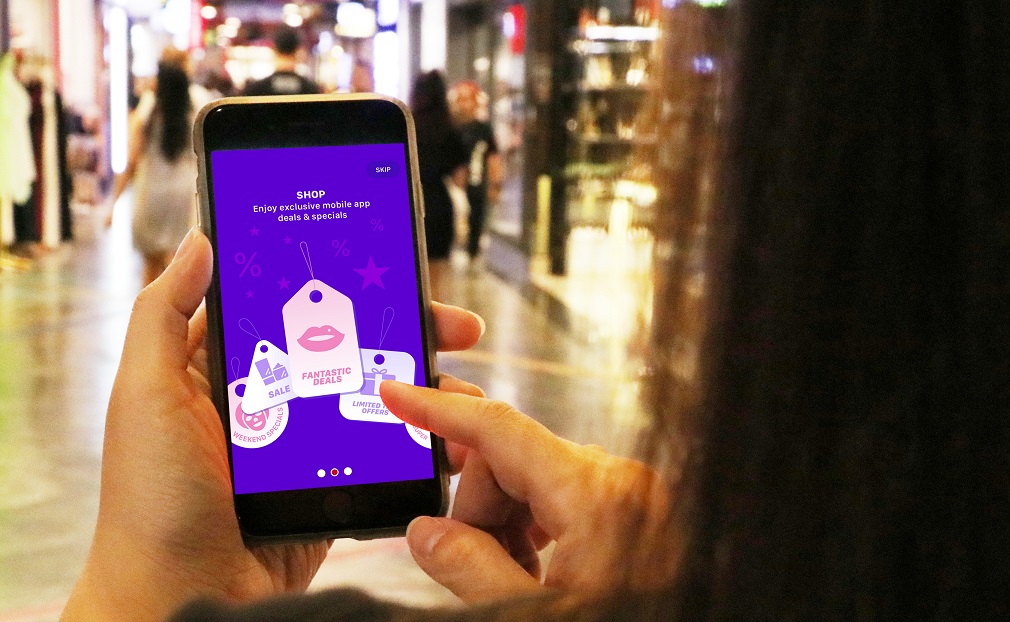
    Navigating through a shopping mall has never been this easy – and rewarding! The newly launched Sunway Pyramid Mobile app is the very first shopping mall app with real-time in-mall navigation, set to revolutionise the shopping experience.

    With over 1,000 exciting specialty stores available in Sunway Pyramid, making one’s way around the 1.8 million sq ft of space that spans over four main shopping levels can prove to be quite the challenge.

    Sunway Pyramid is working closely with the Google Indoor Maps team to integrate their mobile app with Google’s map engine for the upcoming versions of the app – shoppers can say goodbye to spending more time searching for a physical counter or directory to get to their desired location.

    “As a shopping mall that listens to the needs of our customers, this is a great way to provide them with peace of mind as well as personalized content and exclusive rewards & offers for a better and more enjoyable experience – all at their fingertips. We hope that the introduction of the Sunway Pyramid Mobile App gives them more reason to continue choosing us as their preferred lifestyle destination,” said Kevin Tan, Chief Operating Officer of Sunway Malls.

    That’s not all as shoppers will be rewarded for their usage of the app, giving them better value for their time spent in the mall. App-exclusive rewards await them at participating tenants such as YSL, Laneige, Sulwhasoo, Yves Rocher, Chanel, Dorothy Perkins, Topshop, Topman, Miss Selfridge, Burton Menswear London, Nelissa Hilman, Hush Puppies, Love Bonito, JD Sports, NY Steak Shack, Genki Sushi, Coffee Bean & Tea Leaf, Mr Roti Canai, Brotzeit, O.W.L, Gem Studio and Tomei.

    The fun does not stop there, as users can take a quiz in the app to determine their shopping persona. Find out if you are a Trendsetter, Digital Genius, Family Hero, Smart Spender or Golden Groover by answering a few simple questions – this information along with the shoppers’ navigation patterns, redemption and browsing behaviour will be considered to further personalise content that is relevant and targeted for each user.

    To find out more about what the Sunway Pyramid Mobile app can do, shoppers can join in the fun by visiting the on-ground event at the Water Feature on G Floor from 12-28 April.

    Upon downloading the app and registering, shoppers can scan their Member ID to enjoy rewards and gifts such as samples from Laneige, L’occitane, Clinique, Sulwhasoo, cash vouchers from Genki Sushi, complimentary milkshakes from NY Steak Shack and shopping vouchers amongst many others. Other activities include multiple photo op areas with a photo booth and even a relaxation lounge with massage chairs!

    The Sunway Pyramid Mobile App will be available for download via the Google Play Store and Apple AppStore on 12 April 2019. For a full tutorial on how to use the app, please visit YouTube link here.

  • Google Maps is using Waze Features

    Google Maps is using Waze Features

    Google paid almost a billion dollars for the popular Israel-based Waze navigation app back in 2013, but curiously enough, the search giant took an awfully long time to integrate some of the basic features of its daughter service into the main Maps platform.

    For instance, Google Maps users barely started seeing options to report crashes and speed traps added to their navigation service of choice a few months ago, with a wider rollout of these two features subsequently noticed and a handy third option seemingly enabled as we speak. As usual, we’re looking at a staggered release, with a handful of screenshots shared by Android Police proving some people can add reports of crashes, speed traps, andslowdowns, while others are still waiting to get the first two parts of the incident reporting functionality.
    With the traffic slowdown feature, also known as congestion in certain regions, Google Maps users should be able to contribute to a smoother navigation experience, with more realistic ETAs and helpful re-routing suggestions during peak hours. Along with the crash and speed trap reporting functionality, this will make Google Maps bear an even stronger resemblance to Waze, possibly escalating speculation that something might be going on soon.
    Of course, unlike services like Google Plus, Inbox, or Allo, Waze is actually beloved and actively used by millions of people around the world. Specifically, more than 90 million drivers, according to the company’s latest official count, spending an average of 438 minutes in the app each and every month. That’s not something you can afford to throw away very easily, so we’re guessing Google Maps and Waze will remain separate but increasingly similar for many years to come.
  • TomTom IQ Maps Makes Global Premiere In India With MG Hector

    TomTom IQ Maps Makes Global Premiere In India With MG Hector

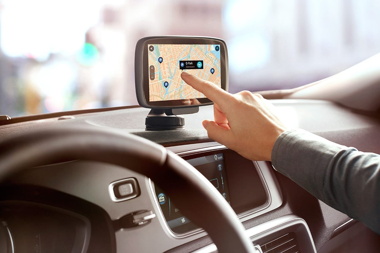
    The MG Hector is still a few weeks away from hitting the market but the SAIC-owned brand has taken the wraps off the car’s connectivity and IT services. In a bid to offer a first-in-segment connected car, the MGHector sees the company bring several big names in IT and services together to create its i-smart platform. Besides Microsoft, Cisco, Nuance et al, there is also the world’s leading name in navigation systems – TomTom. And a unique offering from the Netherlands based player is an immediate area-only self-updating new navigation system called IQ Maps. Speaking carandbike Tsjerk-Friso Roelfzema, VP Automotive – Europe & Asia, TomTom said, “You don’t have to do anything, plug in a new CD or DVD, a USB, or go to a dealer. It’s automatically updated in the background, and not just only automatically updated, but only what is relevant to the driver. So we are here in Delhi today, you don’t want to have the updates of your map let’s say in Pune, it’s not relevant. So we update what is relevant to you.”

    TomTom’s self-updating new navigation system called IQ Maps will be introduced with the MG Hector

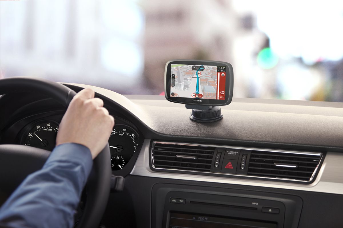
    The IQ Maps idea is simple. The car will have embedded maps for the whole country as is. But these maps get outdated quickly; especially in a country like India here our road systems are constantly undergoing detours or changes due to fresh construction or improvements in infrastructure. IQ Maps helps the car to provide you with updated and current maps, without worrying about those kinds of changes. And yes the system is in-dash – and will work through the big 10.4″ screen on MG’s i-smart unit.

    It also gives you real-time traffic updates, and will reroute your guidance if there is a traffic jam for instance. It also takes into account any last minute road closures or other changes like say, construction activity. The map is updated accordingly, and is fed with a combination of live and historical data inputs to achieve its levels of accuracy. This has been made possible not just because of the innovation at TomTom’s research centres in Europe and also in Pune, India.

    Of course the enabler here is also the vehicle itself, which would have to provide connectivity, since this is an in-car navigation system and not an external device or phone app. And that connectivity on the MG Hector will come courtesy the embedded eSim card the car will have from the start. This in turn will provide data services to not just update maps and conduct live searches for destinations or points of interest, but also stream music, browse the net or access your email. The eSim will also be the way to contact MG’s call centre where a concierge service can hep you find destinations, or more importantly provide first response in the case of an emergency. And the good news is MG has said the data plan for the buyer if the car will be free.

    TomTom plans to develop the product further both in terms of offering even more layers of sophistication, and also see if it can be offered in standalone navigation devices or as a phone app. But there is another potential area where it could be even more relevant. Roelfzema says, “It is very important today in normal navigation, but especially when you talk about autonomous driving, you really want to know if the road has changed if your car is driving itself. And that’s really important. We need to see when the rest is following, but it is a very exciting moment also for us.”

  • TomTom loses Volvo contract

    TomTom loses Volvo contract

    Dutch navigation firm TomTom said on Tuesday it had lost a contract with automaker Volvo. The company said the contract to provide location and navigation services to Volvo, which was announced in 2016, had been ended before it was due to go into force in 2019. That fed into concerns of critics who said a deal Google made last month with Renault, another TomTom customer, meant the company risked being relegated to third place in its main market, with lower margins.

    Volvo could not immediately be reached for comment on the contract. ING analysts said in a trading note that they believe the Swedish automaker had switched to Google, rather than the current leading player in the navigation market, HERE.

    “Now that Google is making inroads, the mapping business has become a three-player market with TomTom, HERE and Google, which is clearly less attractive for TomTom than the two-player market it was before,” they said.

    TomTom shares lost a quarter of their value in one day on Sept. 18 after Google announced a far-reaching supply deal with a group of automakers including Renault, Nissan and Mitsubishi.

    Though the Volvo news knocked shares lower, TomTom reported better than expected third-quarter results on Tuesday, with core earnings rising to €62.4 million euro ($72.2 million) from $41.1 million a year earlier.

    Group sales were slightly higher at $254 million euros, from $253 million in the third quarter of 2017.

    While sales of the company’s traditional satellite navigation devices continued to fall, that was offset by sales to automakers and map licensing to customers Apple and Uber. The company also raised its full-year revenue outlook to $984 million from $955 million.

    TomTom this month announced plans to sell its fleet management business, saying it would instead focus its energy on making digital maps used in highly automated driving — the business on which it has pinned its future.

    It said it has seen “strong interest” for the fleet subsidiary, valued at roughly $810 million.

    Harold Goddijn, CEO and co-founder, said recent new deals with PSA Group and BMW showed the viability of the company’s products.