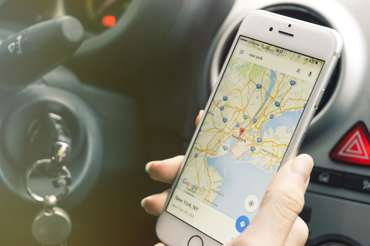
Google says that worldwide, bicycling is up 40% which it notes is no surprise given the warmer weather and the higher gas prices. For over 12 years, Google has provided Maps users with cycling directions based on data from cities combined with AI. With Google Maps’ new bicycle route information, you’ll be able to compare different paths. The data will show you the elevation of the road or trail along your route and you’ll also know in advance if you will encounter heavy car traffic, stairs, or steep hills.
Tag: maps
-

Google Maps unveils three new features, two are rolling out now
Google released a blog post today explaining how three updates are coming to Google Maps just in time for the warmer months. As the gang in Mountain View wrote, “If the warmer months have you feeling extra inspired — and excited — to get outside and explore with friends, Google Maps can help you transform the way you coordinate plans and stay connected this summer and beyond. Whether you’re checking out top landmarks in a new city, planning to hop on your bike, or hanging out with friends around town, these updates have you covered.”To help you plan your summer trips, Google Maps is adding what it calls “photorealistic aerial views of nearly 100 of the world’s most popular landmarks in cities like Barcelona, London, New York, San Francisco and Tokyo.” This is the first step, Google says, toward launching Immersive View which combines AI with Street View, aerial, and satellite images.Google previously wrote about Immersive View back in May and explained how it allows users to “fly” above an area to see what it looks like at different times of the day. You can then “glide” down to street level and “peek” inside bars and restaurants to get a look at the atmosphere inside. It’s an exciting new technology that Google is bringing to its iconic app.The third and last of the three new updates is about location sharing notifications. Google explains how this works with a realistic scenario. “Say you’re headed to a concert with a group of friends. If they’ve already chosen to share their location with you, you can set a notification for the concert venue’s address so you can see when they’ve arrived and meet up quickly. You could also set a notification to see when they’ve left the venue — just in case you get split up.”To protect users’ privacy, these notifications can only be set for those who have agreed to share their location with you. As Google said, “The person who’s shared their location with you will receive multiple reminders to let them know — including both a push notification in the Maps app and an email, along with recurring monthly emails. As always, you’re in control: you choose to stop sharing your location or block someone from setting notifications altogether.”Two of the three new features are rolling out now on the iOS and Android versions of the Google Maps app. Those are the aerial view of landmarks, and the location-sharing notifications. The cycling route information will start rolling out in weeks in the hundreds of cities where cycling directions are made available.Google Maps is the default mapping and navigation app on Android and while Apple has its own Apple Maps app, Google Maps can be installed from the App Store for the iPhone. If for some reason you don’t have the app on your Android device, you can get it from the Google Play Store by clicking on this link. -
Apple Maps could get a feature that Google Maps doesn’t have
Apple Maps has come a long way since it was first released in 2012 as a replacement for Google Maps. The latter was still made available for iPhone users in the App Store (along with YouTube which also was dropped as a native app with iOS 6). At first, Apple Maps was an unmitigated disaster. Some city streets and even countries were labeled with the wrong name and some weren’t named at all. Faulty directions sent users into dangerous areas like the Australian Outback filled with poisonous snakes, very little water, triple-digit temperatures, and scarce mobile phone reception.As a result of the Apple Maps fiasco, iOS chief Scott Forstall departed Apple after failing to sign an official apology related to the feature. As a result, the company’s chief designer, Jony Ive, ended up with the task of redesigning iOS 7 the next year. Forstall’s days at Apple might have been numbered anyway once Steve Jobs passed in 2011. Forstall and Ive reportedly would not work together and had differing opinions about the continued use of skeuomorphic designs for iOS.
Skeuomorphic designs are those familiar designs that were used on the first generation of Apple’s native apps so that users knew instantly what a particular app was all about. For example, the use of an old black and white television console for the YouTube app would be an example as would a legal pad for the Notes app. Forstall (and Steve Jobs) both were into Skeuomorphic design while Ive preferred more of a modern approach.
Apple decided to scrap the third-party mapping platforms it was using for Apple Maps and decided to build its own literally from the ground up. In 2018 it started sending out specially equipped vans with special sensors and cameras that sent data to an iPad located inside the van. The result has been a much improved Apple Maps that has reduced the gap with Google Maps.A tweet disseminated by iOS developer Steve Moser reveals that he has found some code in the Apple Maps app that suggests that Apple might offer Apple Maps navigation for E-Bikes along with optimized routes and estimated times of arrival (ETA) for those who drive them.It isn’t clear what the difference will be in the directions for non-electric and electric bikes although one possibility is that the latter will include steeper paths that are more likely not to be an obstacle for a motorized vehicle. If it turns out that Apple Maps will include navigation for E-Bikes, that would give it an advantage over Google Maps which doesn’t optimize routes for E-Bikes compared to ordinary bikes that need to be pedaled. But Google Maps does show users where they can rent an E-Bike, the expected time of their E-Bike journey, and the ETA. -

Google watches over Maps to protect bad actors from contributing fake reviews
A few days ago Google published a blog post about how it keeps information on Google Maps “reliable.” Google writes, “In a world that’s constantly changing, it’s important for Google Maps to give you the freshest, most up-to-date information possible — so you can know whether the restaurant down the street from you reopened or if your neighborhood grocery store has curbside pickup. One way we do this is through contributed content.”
Every day, Google receives 20 million contributions from Maps users who are willing and eager to tell Google about changes to businesses’ hours of operations, phone numbers, and other important information that helps Maps users find out when they can visit a particular business and how to get in touch with the company. Google also receives photos and reviews among the contributions that Maps users send it daily.
Of course, Google needs to be alert to make sure that the contributions being received are accurate. After all, 20 million contributions a day is a logistics nightmare and one incorrect phone number or bogus review posted on Google Maps could negatively impact a company. And some of the 20 million contributions that Google receives daily are bogus or faked on purpose, possibly by a company’s competitors, or by some malicious users.
Google wrote, “As with any platform that accepts contributed content, we have to stay vigilant in our efforts to fight abuse and make sure this information is accurate. Thanks to a combination of machine learning and human operators, we continue to decrease the amount of content seen on Maps that is fraudulent or abusive – in fact, it’s less than one percent of all the content that is viewed on Maps.”
Last year, Google was able to update information for 30% more business than the number it revised the year before. Using Machine Learning tools it blocked over 100 million fraudulent edits from going live by using ML technology to find malicious bots and abusive edits.
That includes 7 million totally fake business profiles it removed and 12 million fake Business Profiles it took down. In addition, it stopped 8 million bad actors (and we don’t just mean those that didn’t win an Oscar) from claiming Business Profiles that weren’t theirs. Google added, “Thanks to continued improvements in our machine learning, our technologies and teams disabled more than 1 million user accounts due to policy-violating activity, such as online vandalism or fraud.”
Earlier in this article, we mentioned how competitors could potentially post negative comments and reviews to damage a targeted store or business. Google itself alludes to this in his blog post by stating, “We also saw individuals and groups attempt to use fake reviews as a tactic to hurt local businesses — oftentimes spurred by public attention on differences in opinions.” So after detecting abuse and suspicious activity, Google protected 100,000 business from getting attacked on Google Business Profiles.
Google also blocked or removed more than 95 million reviews that violated its policies. It also took down 1 million reviews that were reported to it and blocked over 190 million photos and 5 million videos that were blurry, low-quality, or violated Google’s content policies.
As Google notes, “Local knowledge that our global community contributes is a huge part of what makes Google Maps more than a navigation tool. We’ll continue to invest in keeping this information fresh and reliable so you can discover information about the world around you.
An app like Google Maps attracts bad actors because of its reach and the number of people that use it. For example, more than one billion people use Google Maps each month. And some companies that demanded that customers wear masks were the recipient of fake reviews posted by anti-maskers as a way to get back at them. Luckily, Google stands guard to make sure that these fake commends and ads are taken down.
-

Google Maps traffic triples in Ukraine
Google’s Transparency reports are designed to show “how the policies and actions of governments and corporations affect privacy, security, and access to information online.” And the policies and actions of the government in Russia, by invading Ukraine, are having an effect on the demand for information available online in the latter country.
Maybe it shouldn’t come as a surprise considering what is going on in Ukraine, but usage of Google Maps nearly tripled in that country over the last few days as many families have been taking to the roads trying to get over the Ukrainian border to Poland. Television reports show hours-long waits at service stations and heavy traffic on the roads leading to the border.
The impact on Google Maps usage in Ukraine can be seen graphically thanks to the charts tweeted by Damian Menscher, who is the Security Reliability Engineer responsible for DDoS defense at Google. Menscher tweeted a graph showing how the online traffic from inside Ukraine to Google Maps rose from a score of 55.239 on February 23rd, to 157.275 the very next day, peaking at 186.983 on February 24th.
That’s only half the story. Menscher included in his tweet a graph showing the declining traffic from Ukraine to Google Docs and Google Sheets as businesses are not running as usual in the country thanks to the invasion. Traffic to both sites from Ukraine declined by about 3x during the same time period.
Gmail, Search, and YouTube traffic from Ukraine did not significantly budge since the invasion. We’ve heard reports of Ukrainians seeking shelter in the subway watching YouTube to catch the latest news on the War and to pass the time. This might have propped up YouTube’s numbers inside the country since we’re sure that most Ukrainians are not interested in watching cat videos at this time.
-

Google Maps takes drivers down a potentially fatal route following a major snowstorm
By most accounts, Google Maps does a damn good job navigating from point “A” to point “B,” helping users safely get to their destination in the fastest possible time. And once you get to that destination, Google Maps will tell you where to go for dinner, the must-see places in that city, and where you can find a place to stay. But Google Maps does have its moments, as rare as they are when something goes wrong.
According to SF Gate, travelers in Lake Tahoe were directed by Google Maps to drive on roads that were closed or dangerous thanks to record-breaking snowfall. A tweet from Crystal A. Kolden (@pyrogeog) was sent to Google Maps with a screenshot showing the route between Sacramento, California, and Reno, Nevada.
Kolden told Google Maps that “This is an abject failure. You are sending people up a poorly maintained forest road to their death in a severe blizzard. Hire people who can address winter storms in your code (or maybe get some of your engineers who are stuck in Tahoe right now on it).”
The directions recommended by Google Maps take travelers through Marysville Road described as a “narrow two-lane path going through the Tahoe National Forest.” Another Twitter user tried to warn those using the Android version of the Google Maps app by writing, “The Android mobile app does not seem to be showing road closures. This is a big freaking deal and could lead to some dangerous situations.”
Even the U.S. Forest Service (USFS) got into the act with a tweet that said, “PSA for those trying to use Rollins Lake to sneak past the I-80 closure: You. Will. Not. Get. Through. I-80 remains CLOSED between Applegate and the Nevada state line. You will be turned around and you’re putting crews at risk who are working to clear downed trees, snow, etc.”
Google Maps is usually quite adept at making route changes if an accident or weather slows down travel, but not in all cases such as this one. The National Weather Service (NWS) says that five to nine feet of snow have fallen in the Lake Tahoe area over the last week and the conditions are not expected to get better soon.
If you travel or commute in areas of the country where snow, sleet, and icy roads are often an issue, besides installing Google Maps, you should also include a major weather app such as The Weather Channel, or Accuweather. Make sure to allow notifications and this way you’ll receive alerts whenever wintry weather is going to make driving hazardous.
You might recall that Apple Maps put some of its users in danger back when the app was first released by Apple in 2012. Unlike the current situation, the problem was with the app itself, not the weather. Apple mislabeled a dangerous part of the Outback in Australia which led travelers to drive through an area with very little water, temperatures as high as 115 degrees, with poisonous snakes on the ground.
Eventually, Apple was able to clear this up. As for the situation with Google Maps, the weather is expected to keep road conditions for this route dangerous for a few days.
-

Google and Apple Maps rival explains why their ETA estimates are always off
Ever wonder why your estimated time of arrival (ETA) at a destination that you used Google Maps or Apple Maps to navigate to never matches up with the initial ETA estimate? For example, let’s say that you are traveling from Ludlow, Vermont to Moreau, New York. After tapping the destination into Google Maps, it shows that the drive will take 1 hour and 40 minutes allowing you to get to your destination by 2:45 pm.
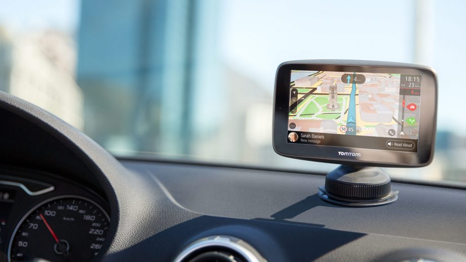
But by the time your journey ends, it is 2:55 pm and you’re ten minutes late. What happened? Google Maps and Apple Maps rival TomTom recently said in a blog post that “We rely on estimated times of arrival (ETAs) now more than ever. Whether we’re waiting on a package, food delivery or taxi ride, an accurate ETA is essential. The problem with ETAs is that they are hard to calculate accurately – and this can lead to both dissatisfied customers and disgruntled drivers.”
First, why should it matter if your ETA is off by a few minutes? TomTom points out that deliveries could arrive too early or too late which frustrates consumers. A package that arrives too early when no one is home to receive it has a bulls-eye on it that says “steal me.” And a late food delivery could result in food being too cold by the time it gets to your house. And a rideshare that arrives at the airport late might force you to run through the airport as O.J. Simpson used to in television commercials for Hertz back in the day.
Drivers trying to pick up minutes on their ETA tend to drive faster with no regard to the usual rules of the road. In 2019 Tom Tom spoke with ride-hailing companies (such as Lyft and Uber) and food delivery companies and was told that having an accurate ETA was one of the biggest problems they face in their businesses. That’s because there are so many unpredictable variables that go into figuring out when you will arrive at point “B” after leaving from point “A.”
Such variables include the weather, driver behavior, and traffic. Part of the problem is that each company has a different reason to provide an accurate ETA. Delivery firms need reliable ETAs while ride-hailing and other firms dealing with commuters want to get their customers from one place to another as fast as possible.
Inaccurate ETAs can occur because some drivers are aggressive and will speed through yellow lights, drive well above the speed limit, and take other chances. Some drivers are conservative and will stop at a yellow light and drive well below the speed limit. Some companies use algorithms to match deliveries with certain drivers. TomTom says that “These algorithms are the ‘secret sauce’ behind route and ETA planning and perform extremely complex calculations that companies own and may vary from business to business.”
To improve ETA accuracy TomTom suggests the use of historical data that show how fast traffic flows through certain roads at specific times of the day. Mix that with Real-Time traffic (TomTom has a system that updates real-time traffic every 30 seconds). It is also important to figure information about the road into ETA calculations. The mapping firm points out that “The more accurate the maps, the better for drivers and customers. Road details like curvature, gradient, speed limits, traffic lights, specific traffic rules and lane information are all important to consider.”
It might sound surprising, but TomTom says that the best route might be one that is longer but is more likely to deliver a more accurate ETA than another route with more traffic lights or accidents. TomTom adds that obtaining an accurate ETA is “both an art and a science.”